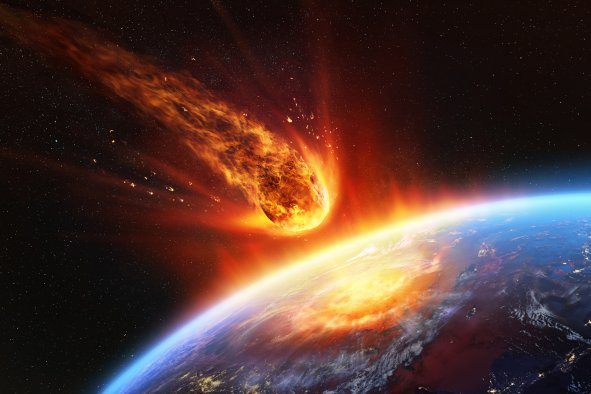
The gargantuan Park Fire torching California has been snapped from space by NASA.
The blaze, which has burned 383,619 acres across Butte, Plumas, Shasta and Tehama counties as of July 30, is now the fifth-largest fire in California history and the largest burning in the U.S.
Staggering images of the fire's scorch marks and smoke from above were captured on July 27—when the blaze was 307,000 acres in size—by the OLI-2 (Operational Land Imager 2) on the Landsat 9 satellite in orbit around our planet.
The fire began in Chico in Butte County on Wednesday, possibly because of arson, and quickly spread across the region, swelling to over 160,000 acres in only two days and to 307,000 acres by Saturday. Its rapid expansion was aided by the intense temperatures, low humidity and high winds, combined with plentiful dried vegetation for fuel.
"It's been growing 5,000 acres an hour since the inception or the ignition of this incident started," Cal Fire Incident Commander Billy See said at a briefing on Saturday morning. "OK, just to put that into perspective, we're looking at almost 8 square miles an hour this thing is taking out."
The NASA images reveal a natural-colored scene shrouded in smoke, with a false-color image combining shortwave infrared, near-infrared and visible light highlighting the scorch marks of the burned land.
Over 25,000 people were evacuated from the surrounding areas as the fire spread, and California Governor Gavin Newsom declared a state of emergency in Butte and Tehama counties. Cal Fire, which is short for the California Department of Forestry and Fire Protection, reported that 165 structures have been destroyed by the blaze, with five damaged and another 4,200 at risk. As of early Tuesday morning, the fire was 14 percent contained by firefighters.
In an update Monday evening, Cal Fire said: "The fire continues to burn actively at multiple locations around the perimeter. Smoke blanketed the northern portion of the fire, causing a slight dampening of activity within that area. The southern portion of the fire had clearer skies, allowing for the finer fuels, such as grass, to be more receptive to fire with a longer burn window."
The update continued: "Crews continue to engage offensively in parts of the fire when it is possible to build direct line, reinforce lines, and to begin mop-up where applicable. Crews have been attacking spot fires aggressively throughout the day and continue to extend contingency lines."
The spread of the fire slowed somewhat over the weekend, thanks to cooler temperatures, and some evacuees were allowed back into their homes. Many areas are still very threatened by the blaze, however.
Temperatures may be about to rise again, which could make it even harder to stem the blaze.
"It already feels noticeably warmer today," Sergio Arellano, a spokesperson for Cal Fire, told news outlet SFGate. "We're looking at temperatures between 88 and 94 today. We were in the 80s over the weekend."
Wind speeds are expected to pick up, reaching up to 20 mph on higher ground, which could make the fire harder to manage.
The Park Fire blaze just overtook the fifth-largest fire in the state's history, the 379,895-acre Creek Fire in Creek Fresno and Madera counties in 2020. The largest fire California has ever seen was the 1,032,648-acre August Complex Fire, which also occurred in 2020. It was a complex of fires ignited by lightning and burning across Glenn, Lake, Mendocino, Tehama, Trinity and Shasta counties.
The 2021 Dixie Fire is the second-largest, at 963,309 acres across Butte, Plumas, Lassen, Shasta and Tehama Counties, followed by the 459,123-acre Mendocino Complex Fire in Mendocino, Lake, Colusa and Glenn counties, and the 2020 SCU Lightning Complex, which burned 396,624 acres in Santa Clara, Alameda, Contra Costa, San Joaquin, Merced and Stanislaus counties.
Do you have a tip on a science story that Newsweek should be covering? Do you have a question about wildfires? Let us know via science@newsweek.com.
Disclaimer: The copyright of this article belongs to the original author. Reposting this article is solely for the purpose of information dissemination and does not constitute any investment advice. If there is any infringement, please contact us immediately. We will make corrections or deletions as necessary. Thank you.