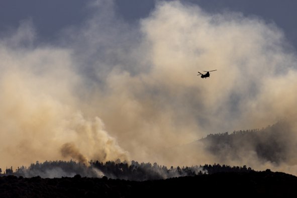
Scattered severe thunderstorms are possible across portions of the Upper Midwest and eastern portions of the central and southern Plains, bringing the risk of tornadoes, the Storm Prediction Center has said.
States affected by the warning include central and eastern Minnesota, Iowa, and western Wisconsin.
Though the risk is slight, "potential storm hazards will include a couple of tornadoes, large hail, and damaging wind gusts," the National Weather Service (NWS) said in its short-range forecast. "Additionally, locally heavy rain in stronger storms may result in isolated instances of flash flooding in the Upper Midwest."
"Slight in this context is a function of the tornado probabilities, which are about 5 percent in a given 25 mile area," Jana Houser, an associate professor of meteorology at Ohio State University, told Newsweek. "Obviously that's not a huge percentage, but it's also not zero, and it's considerably higher your everyday expectation for a tornado."
Houser explained that a low pressure system is currently transporting moist air northwards, driving the thunderstorm formation. "That's also coupled with strong winds and cold temperatures above the ground. That's the key element here—this vertical variation in both temperature and wind."
When cold air is above warm air, instability in the atmosphere is generated, driving warm air and moisture upward into thunderclouds. "When you couple that with strong winds, then you get another key ingredient, which is vertical wind shear—a change in wind speed and direction with height," Houser said.
When thunderstorms and vertical wind shear occur in the same place, tornadoes can begin to form.
But even when these conditions are present, predicting exactly where a tornado forms is tricky. Interactions with other storms, ground topography and other nuances all effect the probability of a tornado forming at a given place and time.
Houser added: "Those details are very difficult to figure out in advance; hence, we have this broad area where it could happen, but exactly when and where is unclear.
"I would put money on perhaps two to five tornadoes forming today."
Any tornadoes that do form will likely be short-lived and on the lower end of the damage rating. "But, you know, if a tornado hits your home, it doesn't necessarily matter if it's a weak or strong tornado. It's still going to damage your house," Houser said.
The risk of thunderstorms and tornadoes is expected to persist into the evening. For tomorrow, the thunderstorm risk has been downgraded to marginal, with less than 2 percent chance of tornado formation in all areas.
Do you have a tip on a science story that Newsweek should be covering? Do you have a question about extreme weather events? Let us know via science@newsweek.com.
Disclaimer: The copyright of this article belongs to the original author. Reposting this article is solely for the purpose of information dissemination and does not constitute any investment advice. If there is any infringement, please contact us immediately. We will make corrections or deletions as necessary. Thank you.